Industrial Aerial Intelligence
Deploy FAA-compliant drone systems with millimeter-grade telemetry. We integrate enterprise hardware, certified pilot training, and advanced data analysis into one ecosystem.
Three Operational Pillars
We eliminate fragmentation in aerial surveying. Our unified approach delivers hardware acquisition, certified pilot training, and advanced telemetry analysis under strict safety protocols.
Enterprise Hardware
Industrial Pilot Training
Aerial Data Services
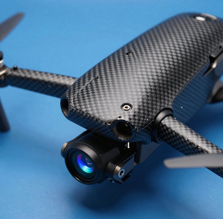
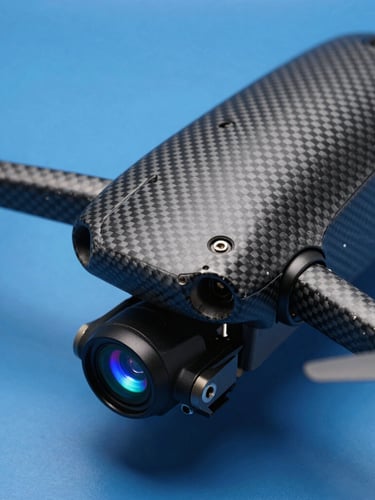
Industrial-grade drone platforms equipped with multi-spectral sensors, carbon fiber chassis, and rugged field telemetry tablets for high-wind environments.
Comprehensive FAA Part 107 compliance courses and advanced flight maneuvers training designed for high-stakes commercial operations.
Actionable LiDAR mapping, orthomosaic surveying, and thermal structural inspections executed by certified pilots with millimeter-grade precision.
Precision Standards
Millimeter-Grade Telemetry
Our flight operations achieve sub-centimeter positioning accuracy and high-density LiDAR point clouds under extreme industrial conditions.
0.8 cm
Every flight operates on pre-programmed autonomous paths. We calibrate multi-spectral sensors and process raw telemetry data to generate high-resolution orthomosaic maps and thermal structural diagnostics.
Mean horizontal positioning accuracy achieved via real-time kinematic telemetry.
100%
FAA Part 107 compliance across all active field operations and pilot rosters.
Telemetry Request
Begin Flight Planning
Establish autonomous flight paths and sensor payloads for your next industrial operation.
Deploy certified aerial intelligence to your job site. Request a technical telemetry consultation with our flight operations leads to map your project requirements.