
Precision Aerial Data Acquisition
Deploy FAA Part 107 compliant certified flight crews equipped with proprietary multi-spectral sensors. We capture millimeter-grade orthomosaic mapping and high-resolution thermal structural inspections, delivering immediate engineering integration and actionable telemetry.
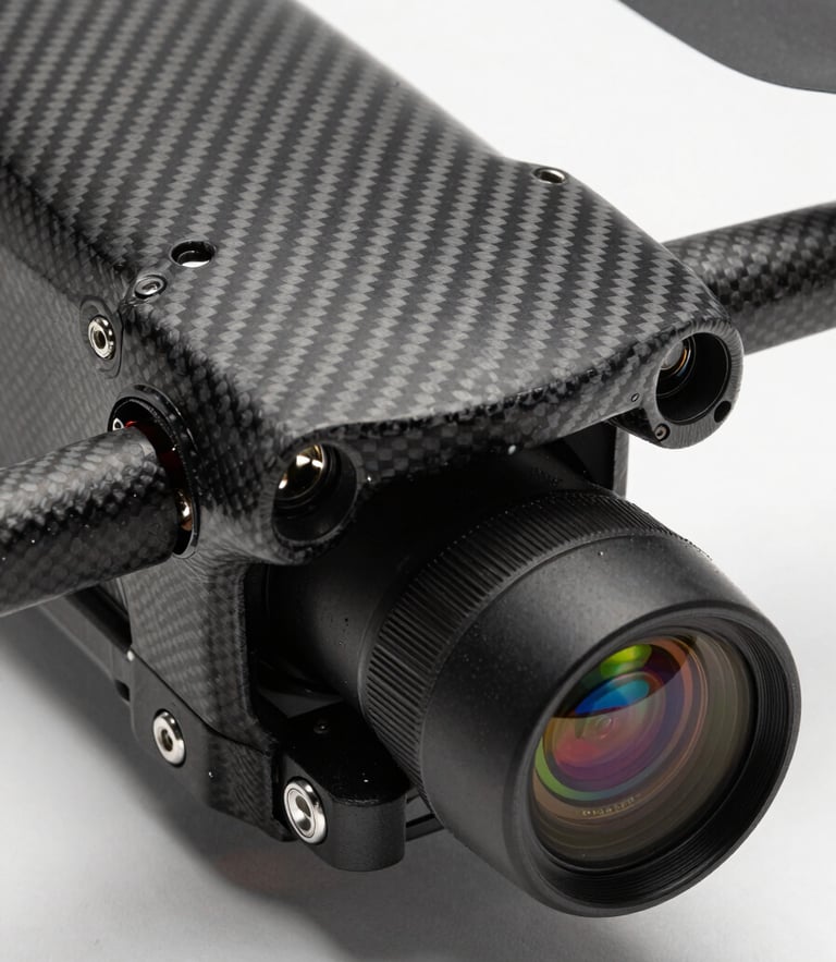
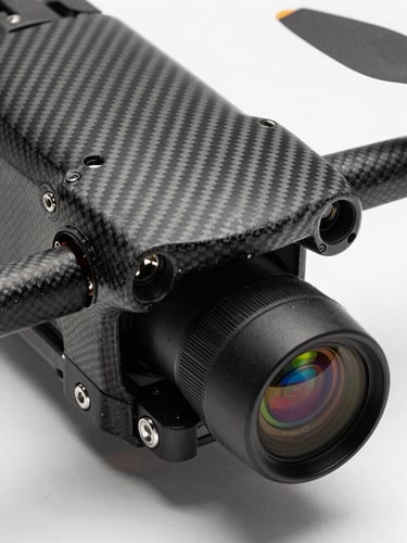
Millimeter-Grade Telemetry
Our autonomous flight paths capture high-density 3D point clouds and calibrated LiDAR datasets. We eliminate operational risk by outsourcing complex aerial data-acquisition to certified crews operating fifty-thousand-dollar payloads in high-wind corridors.
LiDAR & Thermal
We operate calibrated multi-spectral lenses and high-resolution thermal sensors. Every flight path is pre-programmed to secure clean telemetry under challenging industrial conditions, ensuring millimeter-grade precision for civil engineering leads and operations managers alike.
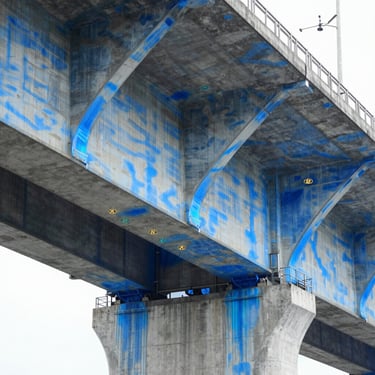
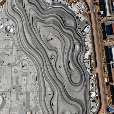
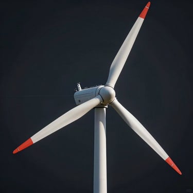
Industrial Dataset Deliverables
Examine high-contrast telemetry outputs, orthomosaic maps, and thermal structural inspections captured during active civil engineering surveys. These actual datasets demonstrate the structural precision and telemetry density delivered across every industrial mission we fly.
Request Sample Telemetry
Acquire raw structural data samples and 3D point clouds to verify our millimeter-grade precision before deployment. Our certified flight crews are prepared to deliver direct integration with your existing engineering workflows and telemetry systems.